Satellite Imagery Transforms ESG Compliance and Deforestation Tracking

Takeaways
- Satellite imagery is helping companies track deforestation in near real time, improving ESG compliance.
- Advanced tools like the European Space Agency’s Copernicus program offer reliable, data-driven environmental insights.
- Businesses are moving away from self-reported claims toward transparent, verifiable sustainability reporting.
As sustainability pressures grow, businesses are facing increasing scrutiny over their environmental impact. Traditional ESG disclosures, often based on self-reporting, are no longer enough. To meet stricter regulations and stakeholder expectations, companies are now turning to satellite imagery for accurate and transparent monitoring of deforestation and land use change.
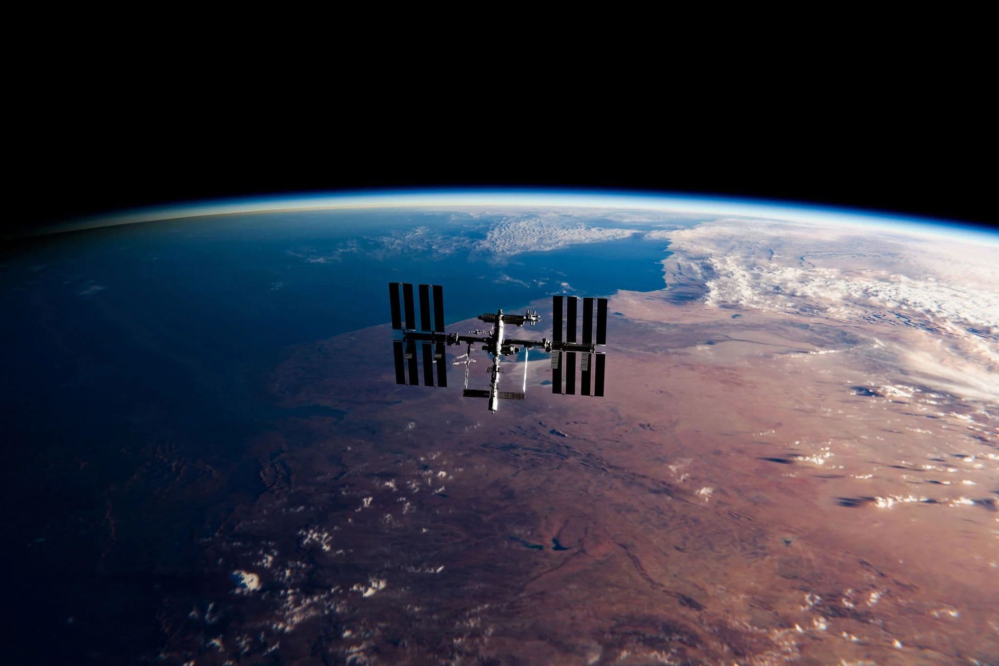
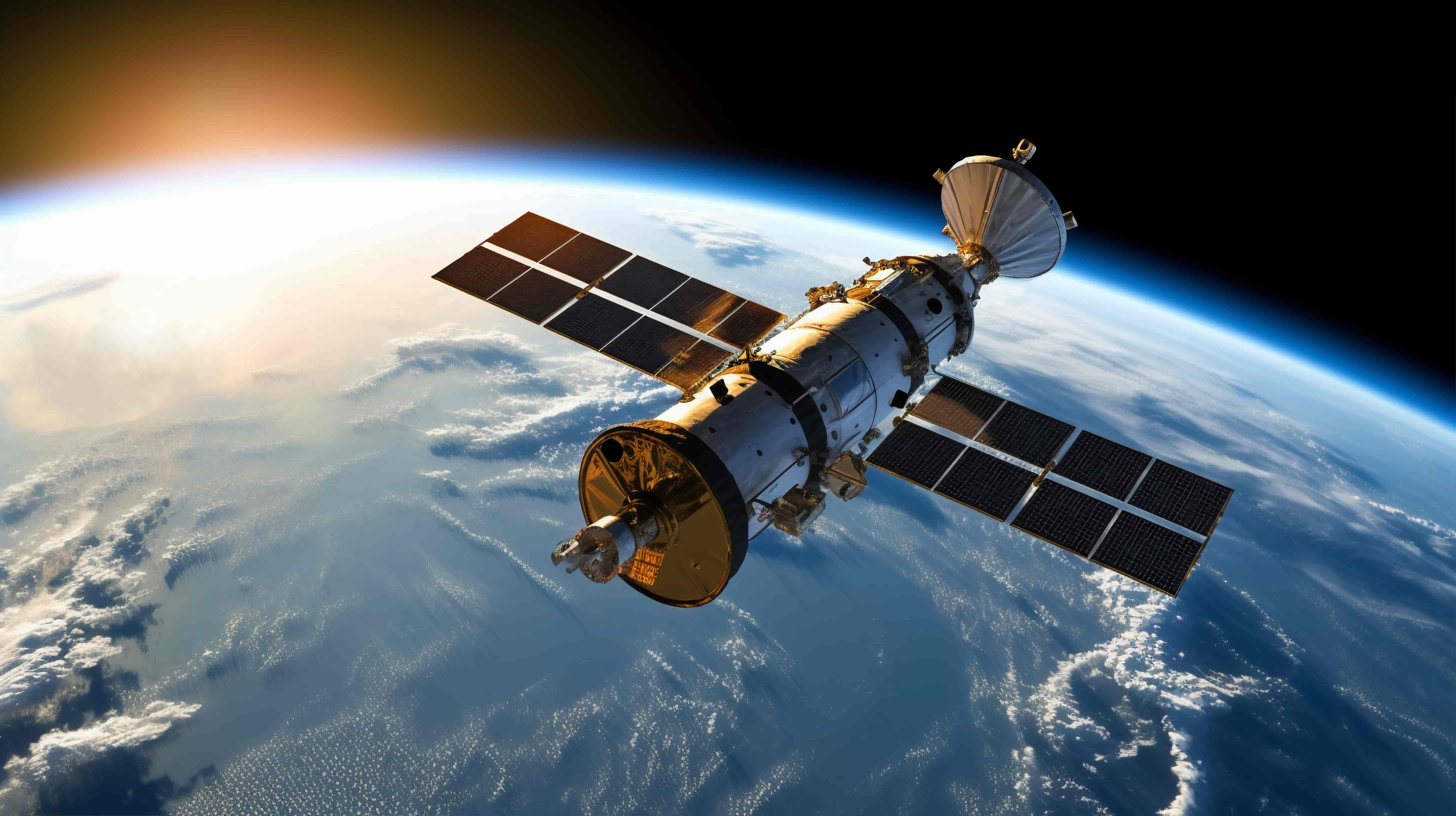
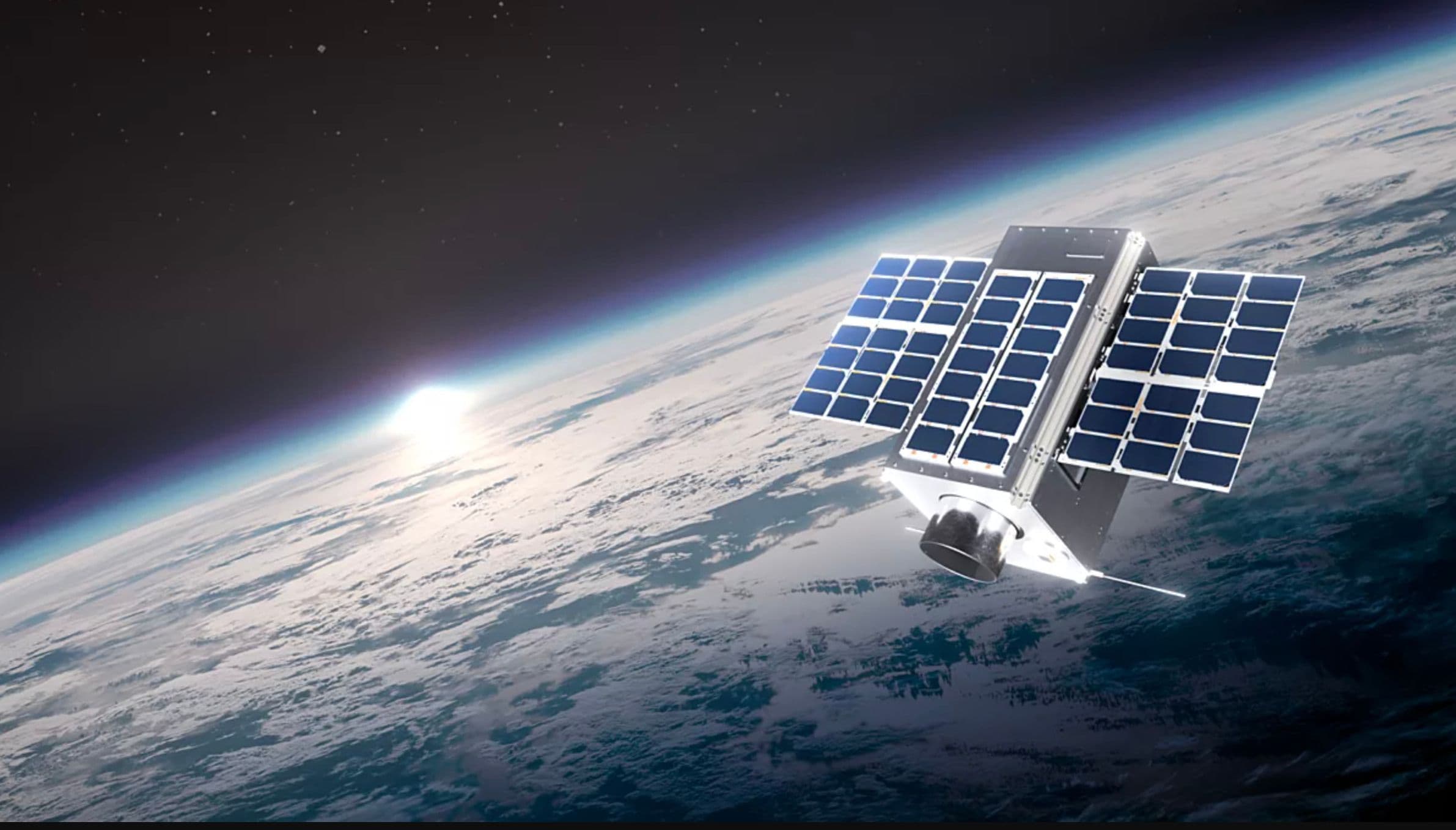
At the center of this shift is the Copernicus Program, led by the European Space Agency. Its Sentinel satellites, particularly Sentinel-2, provide high-resolution images of the Earth every few days. This allows companies to move from rough estimates to measurable and auditable ESG performance.
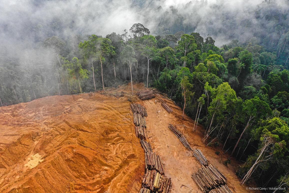
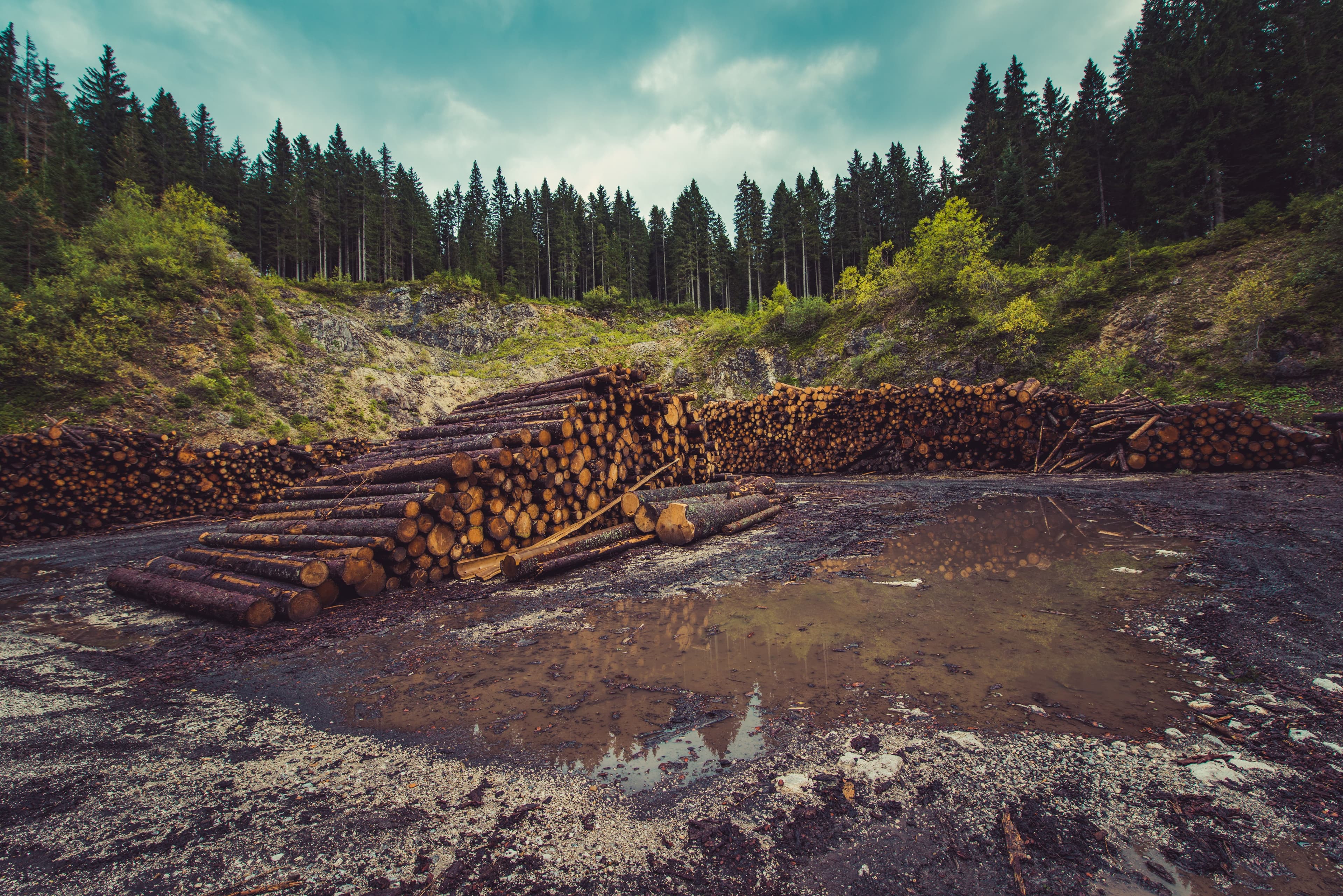
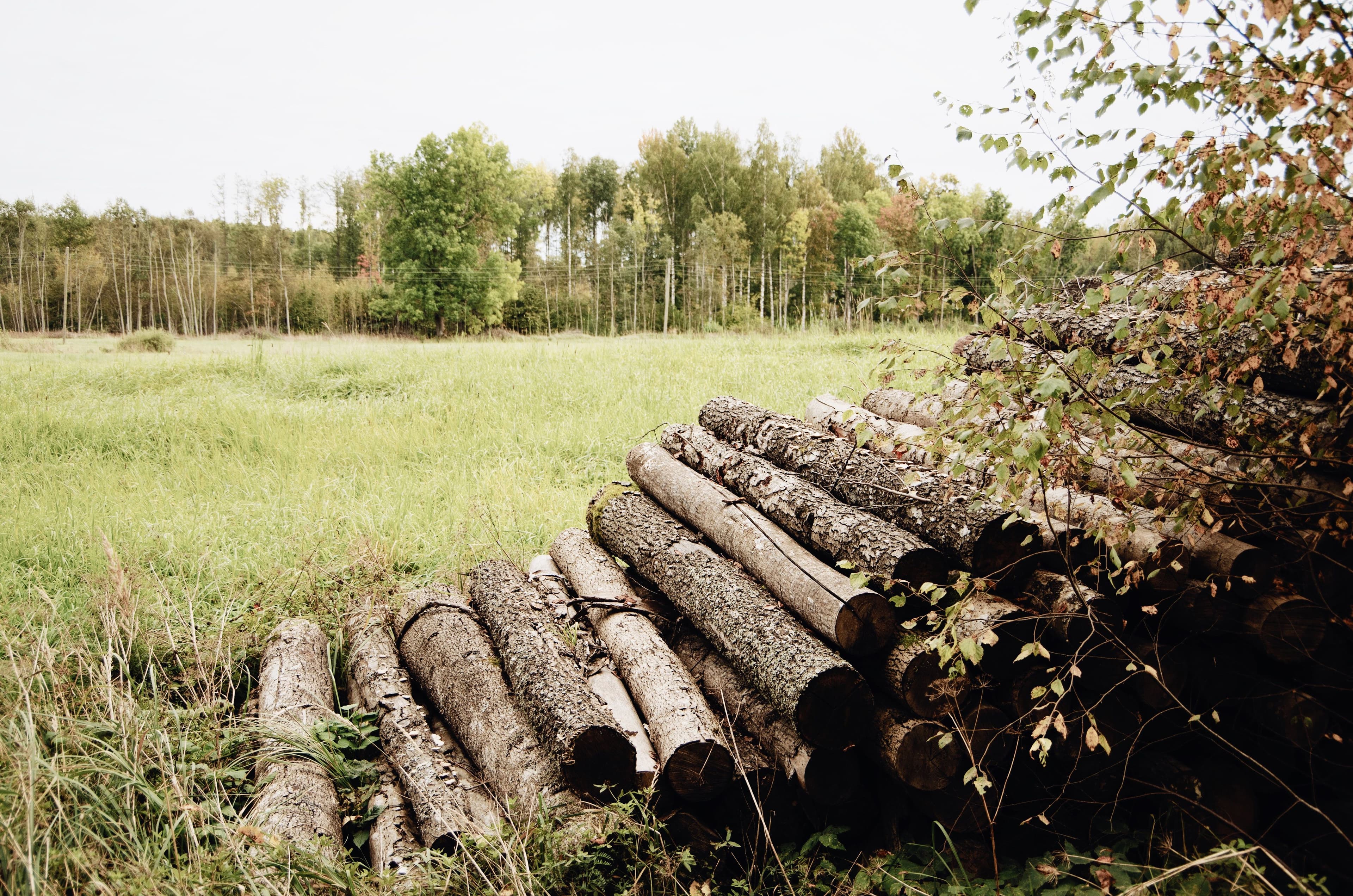
The Challenge of Deforestation-Free Supply Chains
Deforestation remains a major contributor to climate change. Land use activities such as agriculture and forestry account for a significant share of global emissions, with deforestation alone making up a large portion. For many organizations, this falls under Scope 3 emissions, which are often the hardest to track.
Ensuring that supply chains are deforestation-free has long been a challenge. Traditional methods, like certifications, field inspections, and supplier declarations, are costly, slow, and sometimes unreliable. With new regulations, especially in markets like the EU, companies must now prove that their products are not linked to recent deforestation. This is where satellite monitoring becomes essential.
Read More: Top ESG Software Platforms 2026: Expert Buyer's Guide
How Satellite Data is Changing ESG Reporting
Satellite-based monitoring offers a scalable and objective solution. With imagery from Sentinel-2, companies can observe land use changes at a detailed level and at frequent intervals. This makes it easier to detect even small-scale deforestation or forest degradation.
In addition, tools like ESA WorldCover combine radar and optical data to create accurate global land-cover maps. These insights help businesses identify environmental risks early and take action before problems escalate.
Beyond deforestation tracking, satellite data also supports better land management. It can help detect illegal activities, monitor water usage, and assess soil health. This enables companies to align their operations more closely with sustainability goals while reducing environmental impact.
Detecting Deforestation in Near Real Time
Modern satellite analysis uses advanced techniques to monitor environmental changes. One widely used method is the Normalized Difference Vegetation Index, which measures plant health based on light reflectance. Another is the Normalized Difference Moisture Index, which tracks water content in vegetation.
These indices, combined with change detection algorithms and spectral analysis, allow analysts to compare images over time and identify land cover changes with high accuracy. As a result, companies can detect deforestation events quickly, often before they are reported through traditional channels.
What Companies Need to Consider
While the benefits are clear, adopting satellite monitoring requires planning. Businesses must integrate satellite data into their existing ESG systems to make it actionable. They also need to ensure data accuracy by validating insights with ground-level information.
Technical expertise is another key factor. Interpreting satellite imagery involves knowledge of geospatial analysis and remote sensing. Many companies may need to invest in skilled professionals or partner with external experts.
A Shift Toward Data-Driven ESG Compliance
Satellite technology is rapidly reshaping ESG compliance. By using tools like Sentinel-2, companies can gain real-time visibility into their supply chains and environmental impact. This shift from reactive reporting to proactive monitoring is helping businesses build trust and credibility.
Also Read: The Growing Need for ESG Companies, Sustainability, and Climate Solutions
As ESG standards continue to evolve, the use of satellite imagery is set to become a key part of sustainable business practices, offering transparency, accountability, and a clearer path toward net-zero goals.
Follow more news and views via our Sustainable Finance & Technology and Featured Articles sections, and stay updated on the top ESG events to attend in 2026 for industry insights and networking.
If you're looking for suitable ESG and Sustainability providers to share customized solutions specific to your business needs, you can check out KnowESG's Solutions page.
If you are an ESG provider looking to get your organization listed on our portal, visit this page.
Source: ESGtoday